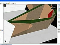
Novo Tech Software is the leading developer of geotechnical engineering software solutions; we develop both desktop (for Windows) and web applications for geotechnical engineering. Our computer programs are easy to use and affordable. We offer flexible licensing and excellent support for all users.
CESDb currently lists 9 software developed by Novo Tech Software, including NovoLiq, LateralK, NovoSPT, Peysanj, NovoFormula, NovoLAB.
You can also visit developers official website https://novotechsoftware.com/ for software support, product updates, licenses and other information.
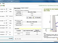
LateralK is a simple software for calculating lateral earth pressure coefficients and forces behind retaining walls in static and earthquake condition based on Rankine/ Coulumb formulas and also Mononobe/ Okabe methods.
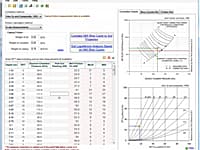
NovoBPT is designed for correcting raw BPT blow counts (Nb) and converting them to SPT blow counts (N60).
Cone Penetration Test Interpretation
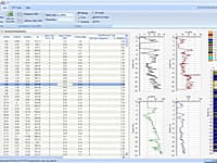
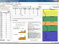
NovoCPT is designed for processing CPT files and calculating soil parameters such as friction angle, relative density, unit weight, fines content, shear wave velocity, Gmax, clay sensitivity, OCR, undrained shear strength, soil behavior type (SBT).
Geotechnical engineers can use this software for day-to-day analysis and calculations.
Soil Mechanics Log Drafting and Lab Test
NovoLAB is the most comprehensive geotechnical software for lab data management and borehole log drafting.
This robust software is designed for soil liquefaction analysis during earthquake and supports multi-layer as well as single layer stratigraphy.
Standard Penetration Test Correlations
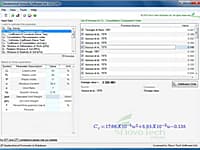
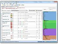
NovoSPT is a unique geotechnical software designed for correlating SPT blow counts (N) to various soil properties using 300 correlations.
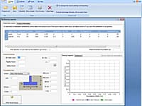
Peysanj is a series of geotechnical engineering modules such as bearing capacity and settlement, pressure-meter test, plate loading test, soil liquefaction analysis, etc bundled as single software.
Using VisLog, the user will be able to enter borehole information including the stratigraphy, coordinates, ground water level, etc.

