Underhill & Underhill are Vancouver BC land surveyors providing full-service land, construction, and engineering surveying with 3 offices in Western Canada
CESDb currently lists 2 software developed by Underhill Geomatics, including Copan Pro, Copan Pro For Android.
You can also visit developers official website http://underhill.ca for software support, product updates, licenses and other information.
Computing and Managing Plane Land Survey Coordinates
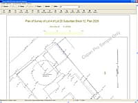
Copan Pro is a very functional and user-friendly desktop/netbook geomatics engineering tool for computing and managing plane land survey coordinates and for drafting and plotting survey maps and plans/plats.
Hand-held Geomatics Engineering Tool
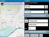
Copan Pro for Android is a hand-held geomatics engineering tool for computing and managing plane land survey coordinates.
Highway Engineering and Design Application
The simplestand versatile software for highway engineering and design with special features for low cost rural roads and hill roads, tunnels.
3D modeling for Architectural, Interior Design and Civil Engineering
SketchUp Pro is the most intuitive way to design, document and communicate your ideas in 3D.
Analysis & Design of Bridges with Foundations, Hydrological Analysis, Culverts, Underpasses
The simplest and versatile software for structural analysis and design of bridges with super structures, sub structures, foundations, hydrological analysis, culverts, underpasses.
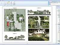
Edificius LAND is the BIM software for landscape architecture and garden design.
Surveys, Land Modeling, Landscape
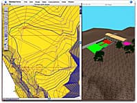
Nonio C is a program for modeling large topographic and cartographic surveys using triangles, contour lines, slope charts, color shading, sections, and three-dimensional views.


