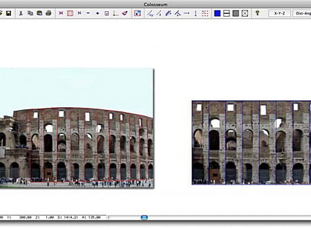
DigiCad 3D is an excellent tool for dealing with images, drawings, photographs of building, regular or irregular surfaces and maps. It operates either directly on raster images or by digitization. It is used in photogrammetry, cartography and, increasingly in recent years, in architectural photogrammetry, for which it offers powerful, easy-to-use and exclusive instruments.
Key features
- Architectural elevations from photographs
- Elimination of perspective distortion
- Partial transformation
- Mosaic work
- Transparent images can be superimposed on technical drawings and bitmaps
- Regular - or irregularly curved surfaces can be straightened out
- Optical deformation caused by photo lenses can be eliminated
- Approximate and precise transformation
- Perspective and Linear Transformation
- Ability to work with large format drawings
- Automatic union of parts of drawings
- Attach function for 2 and 4 points
- Direct transformation of photos or scanned images
- Geo-reference
- Elimination of map distortions
- Creation of texture from photos
- Snap and Block functions
- Ability to move elements or groups of elements
- Direct integration with Nonio C, and Domus. Cad
- Import in PICT (Mac Os), BMP (Win), EWMF (WIN), DWG, DXF, XYZ, CXF formats and others format
- Export in PICT (Mac Os), , BMP (Win), EWMF (WIN), DWG, DXF XYZ and Domus.Cad formats
- Rotation, modification of the transparency, of the resolution and of the number of colors of the raster images
- Exact images re-scale and real measurements.
* DigiCad 3D download link provides trial version of the software for Windows and Mac OS.
Surveys, Land Modeling, Landscape
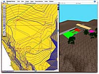
Nonio C is a program for modeling large topographic and cartographic surveys using triangles, contour lines, slope charts, color shading, sections, and three-dimensional views.
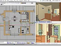
Domus. Cad is a program for architectural 3D design which allows you to face 3D design with the same simplicity as a traditional 2D design.
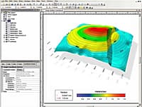
Golden Softwares Surfer software is a full-function 3D visualization, contouring and surface modeling package that runs under Microsoft Windows.
Geometric Design of Roads and Highways
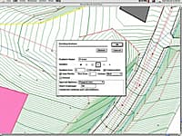
HighRoad is an interactive graphical application for the geometric design of roads and highways.
Verification of Stratified Slopes
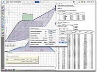
Geo-Tec B allows the verification of stratified slopes in the presence of water beds and loads.
Submit a review about DigiCad 3D software with your social media profile

No comments yet. Be the first to comment.