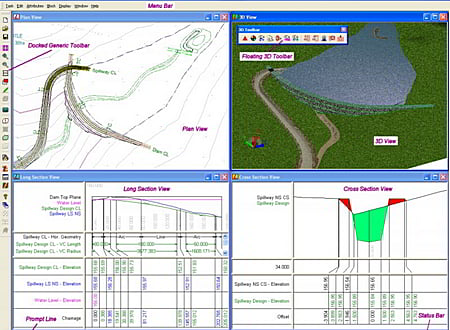
LISCAD is a portfolio of integrated Land Surveying and Civil Engineering software modules. The modular design means you only purchase the functionality you require, keeping costs down. LISCAD interfaces with all popular surveying, engineering, GIS and CAD systems.
Features include rigorous geodetic computations, unlimited model size, traverse and least squares network adjustment, 2D/3D transformations, volume computations, geo-referenced background images, 3D Visualisation, profiles, impressive engineering design capability for easy generation of virtually any design, Survey Live for real-time surveying and set-out with total station or GNSS equipment and Point Cloud for importing, viewing, editing and digitisation of point cloud data.
* LISCAD download link provides trial version of the software.
Fieldwire connects your entire field team, from the project manager all the way down to each specialty contractor's foreman, on one construction management platform.
Solving & Analyzing Engineering Calculations
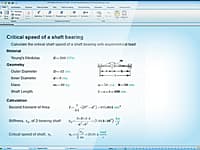
PTC Mathcad is the industry standard software for solving, analyzing, and sharing your most vital engineering calculations.
FEM Structural Analysis & Engineering
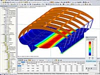
RFEM is a powerful 3D FEA program helping structural engineers meet requirements in modern civil engineering.
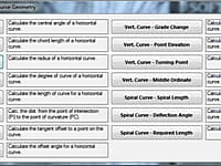
Performs civil engineering calculations for traffic/road geometry, surveying/earthwork, pavement, concrete floors and unit conversions.
Design For Survey, Town Planning & Industrial Plants And Tunneling
The largest and versatile software for survey, dtm, contouring, site development for township, tunnel, airport, irrigation, water supply projects.
Submit a review about LISCAD software with your social media profile


No comments yet. Be the first to comment.