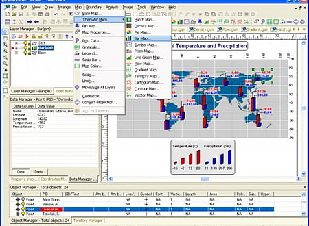
MapViewer is an affordable mapping and spatial analysis tool that allows you to easily produce publication-quality thematic maps. Precisely display your data distribution with the most intuitive functions and features. Your data is unique and you need the best mapping software for the job!
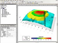
Create one of 15 different 2D and 3D map types including: contour, density, prism, flow, territory, vector, gradient and many more!
- Visually display your information for a better understanding of data
- Customize maps to create or define sales, insurance, and marketing territories
- Use customized maps to outline marketing strategies
- Use maps to compare data to track trends
- Effectively display distribution of any geographically distributed data
- Create a variety of presentation quality images to geographically display information
* MapViewer download link provides demo version of the software.
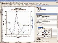
Grapher is the only graphing program you will ever need. Create powerful stunning graphs quickly and efficiently. Ideal for scientists, engineers, and business professionals.
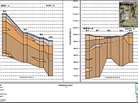
Strater is a powerful and innovative well log, borehole and cross section plotting software package for geoscientists.
Digitizing & Coordinate Conversion
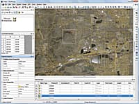
Didger is a highly accurate digitizing program that will be an invaluable addition to your software library.
Golden Softwares Surfer software is a full-function 3D visualization, contouring and surface modeling package that runs under Microsoft Windows.
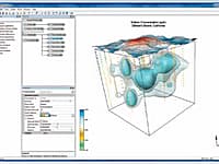
Create powerful, fast, customized 3D images of your data with Voxler 2.
Submit a review about MapViewer software with your social media profile

No comments yet. Be the first to comment.