Finite Strip Computer Application
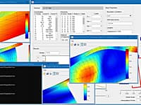
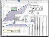
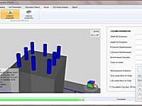
The FStr computer application gives to the user an easy and an intuitive elastic buckling analysis, through a Finite Strip Method, and its modal visualization of a thin-walled structural element.
Two-Dimensional Frame Analysis
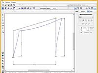
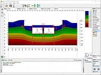
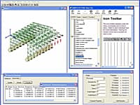
Ftool provides a simple analysis program that merges, in the same interface, resources for effective creation and manipulation of the model, linked to a fast and effective code for visualization of the results.
Geoscientific Analyses, Mapping, Data Display and Data Management
GaeaSynergy is an application suite for geoscientific analyses, mapping, data display and data management. The program can be used to evaluate contaminants, soil and rock properties, mineral deposits, and oil and gas deposits.
Manage Earthmoving Equipment in a Worksite
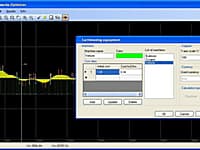
GAIES is a utility that manages the earthmoving equipment in a worksite. Provides optimized solution for the soil movements during the construction stage of a corridor (road, channel, railway etc) project.
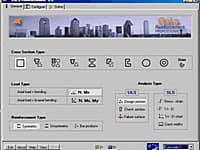
GaLa Reinforcement is a free program, developed as a part of Dr. Ilia Alashki Ph. D. thesis in 1997-2002.
Verification of Stratified Slopes
Geo-Tec B allows the verification of stratified slopes in the presence of water beds and loads.
GEO5 is a suite of programs for geotechnical analysis. The software package includes individual programs that are closely linked to each other and run in the same environment.
Analysis of a Soil-Supported Mat or a Structural Slab
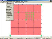
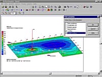
GeoMat is aimed at the solution under static loading of two classes of problems encountered in structural engineering: a soil-supported mat or a soil-supported structural slab.
Plot Structural Geology Rose Diagram & Polar Area Diagram
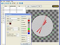
GeoRose is a program plotting rose diagram used in structural geology area.
Design and Analyse Spread Footings
GEO. Spread will enable you to design and analyse spread footing easily, accurately, and comprehensively.
A Package for Geotechnical and Structural Engineers
GEOTEC Office is a package for geotechnical and design engineering. The package contains programs such as ELPLA, Bohr, TIEF, Geotools and more.
QuickLog, QuickCross/Fence, QuickGIS, QuickSoil
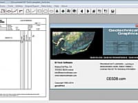
The four modules, QuickLog, QuickCross/Fence, QuickGIS, and QuickSoil are contained in one integrated application called Geotechnical Graphics or GeoGraphics for short.
Calculate Basic Volume-Mass Properties
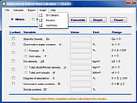
Geotechnical Volume-Mass Calculator provides the user the ability to calculate all of the basic volume-mass (VM) properties when three VM properties are known and to graph the VM relationships of the soil.
Production Of Geo_Well Data Files
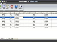
The GeoWell Editor is a stand-alone editor that simplifies the production of GEO_WELL data files for submission to California’s GeoTracker system.
Connect Water Simulation Programs to a Powerful GIS Interface
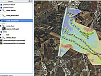
Giswater connects water simulation programs to a powerful GIS interface, and lays the foundation for full management of water supply systems, sewerage systems, drainage networks and rivers.
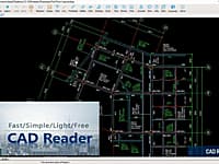
As a CAD drawing viewer developed by Glodon Company Limited, CAD Reader is one of the fastest, most lightweight and powerful CAD drawing viewers.
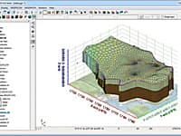
GMS (Groundwater Modeling System) is water modeling application for building and simulating groundwater models from Aquaveo.
Three-Dimensional Finite Element Mesh Generator
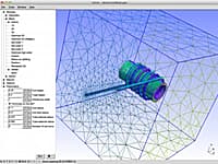
Gmsh is a 3D finite element grid generator with a build-in CAD engine and post-processor. Its design goal is to provide a fast, light and user-friendly meshing tool with parametric input and advanced visualization capabilities.
3D Finite Element truss and beam elements
GBW32 V5. 0 is a 3D Finite Element program that uses truss and beam elements to model a wide range of Mechanical and Civil structures.
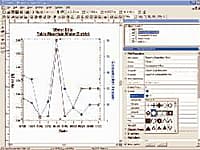
Grapher is the only graphing program you will ever need. Create powerful stunning graphs quickly and efficiently. Ideal for scientists, engineers, and business professionals.
You are on page 10 of 23
« First 2 3 4 5 6 7 8 9 10 11 12 13 14 15 16 17 18 19 Next »

